In 1845, John Franklin was chosen to lead the largest and best-equipped Arctic expedition to date. He set off with 128 fellow officers and crew onboard two ships in search of a Northwest Passage. And then they all disappeared.
Ironically, the Northwest Passage was discovered during the searches for Franklin. It took 40 separate expeditions to find his ships and this long search, together with Inuit interviews and grisly mementos, eventually pieced together the story of Franklin’s disaster. During those 40 expeditions, more was discovered about the North American Arctic than had been learning in the previous 200 years.
Searchers discovered Franklin spent the first winter at Beechey Island, located between Devon and Cornwallis islands. The next year they continued southward into Victoria Strait, where the ships became permanently trapped in ice at King William Island. Franklin died in June 1847 and after their third Arctic winter, captain Crozier (Franklin's second‑in‑command) abandoned the two ships and led the surviving 105 officers and crew south across ice‑packed straits. Scurvy, hunger, and exhaustion eventually claimed all the men.
We conducted our own search for Franklin’s expedition, sort of, when National Geographic Explorer anchored near Beechey Island early this morning. We visited Franklin’s 1845-46 overwintering site, where three men died during this time. Their famous graves are a pilgrimage site for those obsessed with Arctic history.
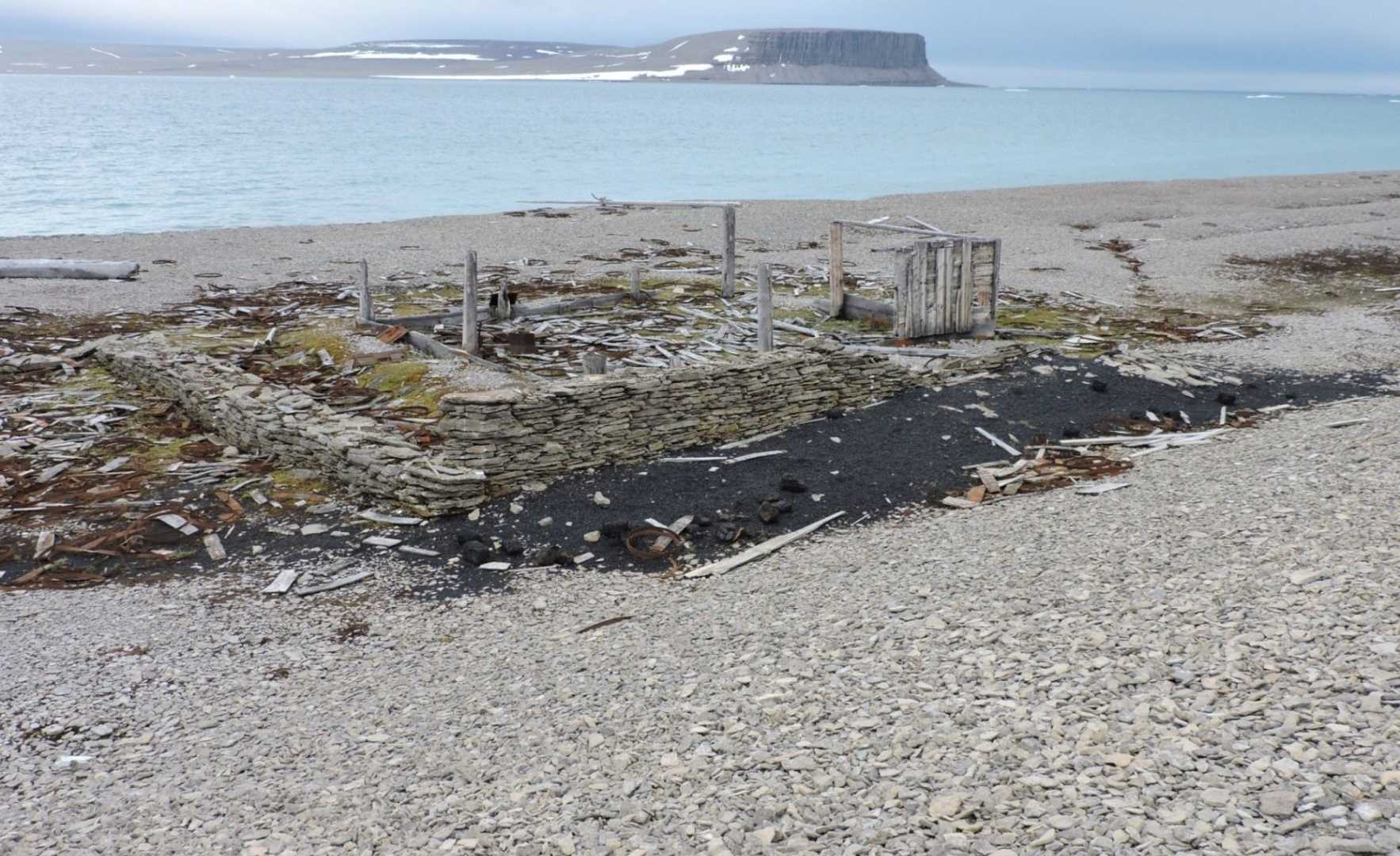
A short distance from the graves are the ruins of Northumberland House, a structure set up by the Belcher Expedition in 1854. It was an emergency hut that contained food and supplies just in case the Franklin expedition returned to Beechey Island at some later date. The hut has been completely destroyed by years of weathering and marauding polar bears that used it as a wooden scratching post (photo A). Not surprisingly, there are numerous monuments and plaques erected here to pay homage to Franklin and his men.
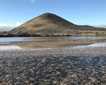
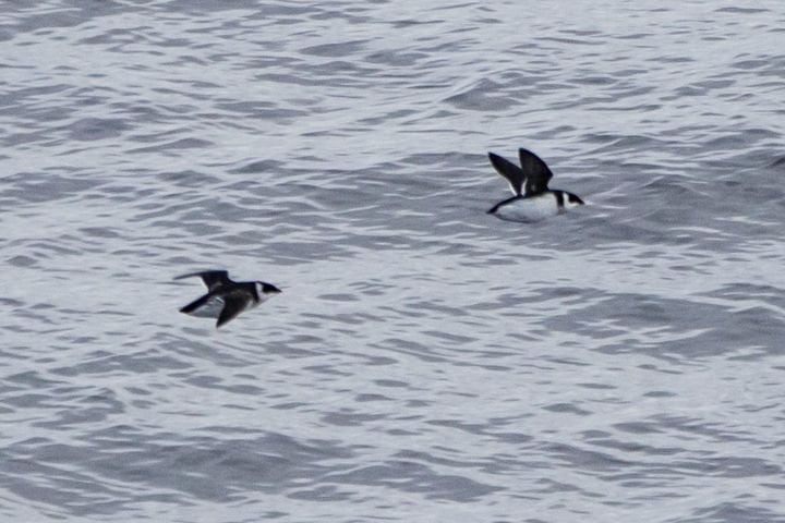
In the afternoon, we landed at Radstock Bay on the south coast of Devon Island. The landform is fascinating because it consists of sedimentary rocks that have been heavily impacted by glaciers and isostatic rebound. In other words, ice has scoured and shaped the enormous valley, and the valley floor itself has risen considerably since the ice disappeared. A few of us decided to climb the slope of Caswell Tower and we were rewarded with spectacular views in which we could clearly see ancient raised beach lines all the way up the valley. This proved the isostatic rebound or land rise impact. Lots of ponds dot the floor of the valley, providing habitat for loons, ducks, geese and sandpipers, all of which we saw.
Another great aspect of this place are the ruins of numerous Thule houses. We could see the ancient construction techniques that included layers of stacked flat rocks, along with ribs, jaws, and skulls of bowhead whales (Photo B). This was a winter community that was used more than 500 years ago by people who exploited the rich marine resources of the area.