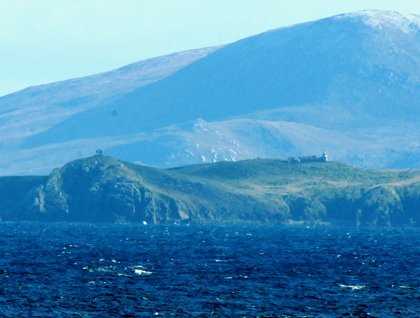
The end of the world or the end of the known world? Both these titles were given to Cape Horn, a set of islands that define the southernmost land outside of Antarctica – a corruption of the word “Hoorn,” named after a ship captain’s hometown of Hoorn in the Netherlands. How there could be any similarity in topography is not understood, but having been the first to “round the Horn” he was able to name it. Sailing ships would have to continue around the horn for hundreds of years because the only other way from the Atlantic to the Pacific was through the Straits of Magellan, a very shallow and at times narrow water way. Steam ships could use the straits but not large sailing ships. Many ships were lost as they attempted to go the wrong way (east to west) while transporting people from the east coast of the Unites States to California during the gold rush. Only later did the Panama Canal allow a shortcut for all but the largest of vessels from one ocean to another.
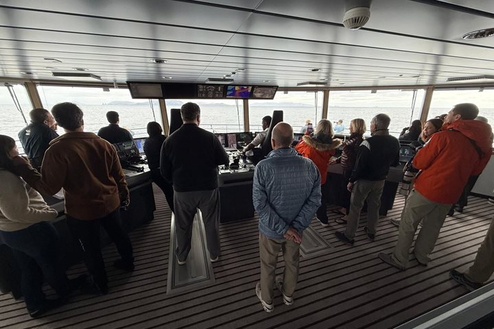
Now under Chilean control, on Cape Horn there is a small naval base and radio station to protect Chiles’ interest in these waters. Just to the north is the Beagle Channel, the current border between Chile and Argentina. The border has been disputed and in the past the Pope decided the fate of the border. We on National Geographic Explorer enjoyed views of both Cape Horn and the Beagle Channel during the last day of an amazing journey from Ushuaia to the Antarctic Peninsula and back again.