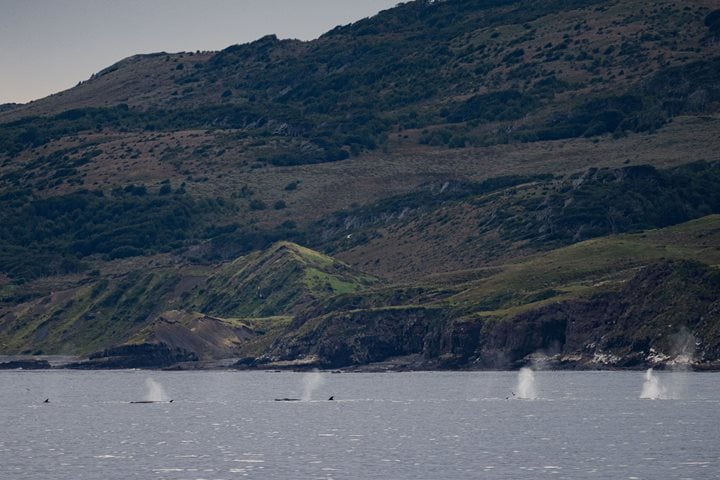
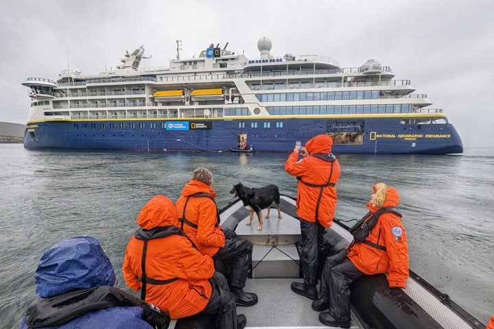
Throughout the night the winds had increased as National Geographic Explorer approached the famed and fabled Cape Horn. The seas were building in response to the rising winds. By midmorning we diverted course and made our way east towards the Beagle Channel. The seas continued to build but our ship is strong and we were able to make it to the relative shelter of the islands that lie along the Chilean/Argentine border. The winds that whip up the seas are legendary, but also the best way for seabirds to make their living. All around us albatrosses, petrels, and other seabirds were using the wind to their advantage in search of food for themselves and their chicks.
The potential for this expedition is large and we hit all the high marks and must-haves. We enjoyed the entire gambit of weather and conditions, from flat, calm, and sunny to horizontal snow in a fogbank. The natural history sightings were amazing and we have many memories and photographs to prove it.
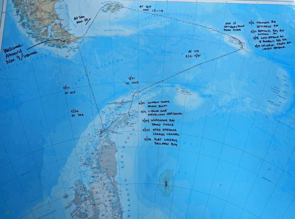
During the afternoon, once the ship was sheltered from the seas, the last presentations and preparations were being made for tomorrow’s departure. Packing, sorting, organizing, and other projects were underway. One of those projects was taking place at the expedition map of the ship’s travels throughout this three-week expedition to the Scotia Sea. The staff and many guests have been dutifully plotting our course each day as we first traveled to the Falkland Islands, then to South Georgia, and finally to the Antarctic Peninsula and back across the Drake Passage. The “full circle” as our captain called it. Maps and charts are an abstract memory device due to the huge scale reduced to a single flat representation of our travels, but they anchor us into a part of the world that we can all say we now know, and have visited with comfort, safety, and wonder. That could not be said for the explorers of a century ago, who did know the area but would not have described their travels with the words comfort and safety.


