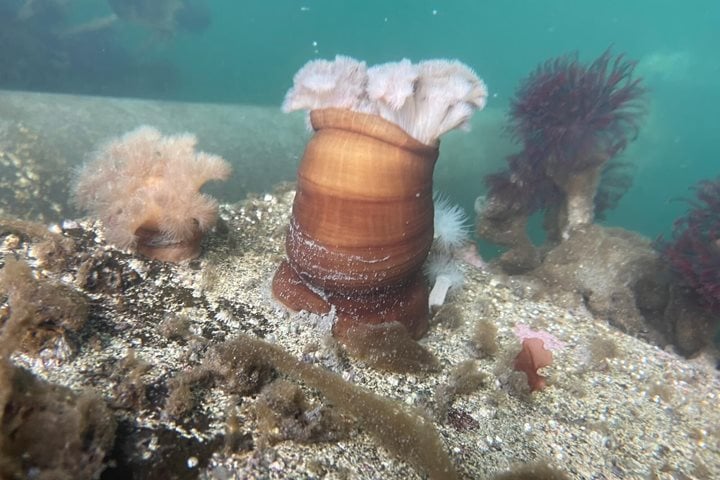
Once glaciers covered most of the land that is now Southeast Alaska, flowing down from their birthplace in the mountains to the sea below. Glaciers carved the landscape, smoothed and rounded lower peaks. They flowed along faults in the underlying rock to create the waterways through which we now travel. In most places, the retreat of the glaciers began with the end of the last glacial episode of the Ice Ages, some 14,000 or so years ago. Glacier Bay is different. Sometime in the 1600s, the ice surged forward, filling Glacier Bay, obliterating the homeland of the Tlingit people who lived there. The people moved to Chichagof Island, but stories of their former homeland are kept alive through their oral history. Then, at the end of the 18th Century, the ice began a rapid retreat and Glacier Bay was revealed once more, but it was an altered Glacier Bay, scraped clean to bedrock by the ice. Glaciers are now confined to valleys coming down from the mountains. Vegetation is returning to the landscape, salmon to the streams, intertidal organisms to the seashore, and wildlife to exploit the newly available resources.
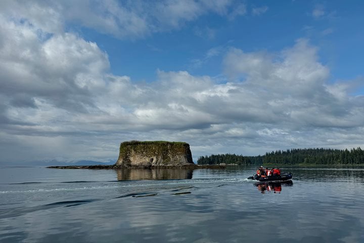
Today was our day to explore Glacier Bay. In the early morning we picked up National Park Service Ranger Sean Nielsen and Tlingit Cultural Interpreter Alice Haldane at Park Headquarters at Bartlett Cove, and we headed "up Bay." We quickly encountered the most recently arrived residents of Glacier Bay: sea otters floating on their backs, feet in the air. Twenty years ago, there were none; now they abound. They are the descendents of the few otters that managed to survive the earlier slaughter of Russian Alaska.
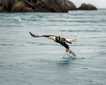
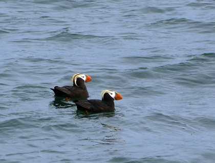
Our first stop was at South Marble Island, a site of breeding seabirds: tufted puffins, common murres, black oystercatchers, kittiwakes, and glaucous-winged gulls that once provided fresh eggs each spring for the Tlingit people. Numerous Steller's sea lions lounged in heaps on the rocks, uttering their belching roars.
Farther up the Bay, we entered Tidal Inlet. There we found a young Coastal Brown Bear foraging in (and on) the abundance of the intertidal zone for a seafood breakfast. Around the corner, on Gloomy Knob, we looked upward for mountain goats high on the rocks above us. We found them just as they disappeared into the morning fog above us. We also found another bear, rather similar in size and color to our Tidal Inlet bear. Perhaps they are siblings, recently independent from their mother. His (or her) strength in ascending the steep slope was impressive.
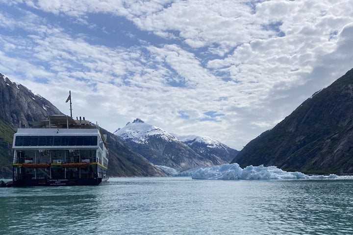
We continued "up Bay," with Ranger Sean and Cultural Interpreter Alice adding perspective on the past and present of Glacier Bay. We reached the end of the Bay where the Margerie, Ferris, and Grand Pacific Glaciers end their journey. Margerie is a rather "clean" glacier, with a blue-white face a mile across and some 300 feet high. In contrast, the Ferris/Grand Pacific Glacier is covered with rock material carried from the mountains above. We watched Margerie, but the glacier was in no mood to drop her ice into the Bay below.
The skies cleared as he headed back down Glacier Bay. We were traveling with the wind, making for a most comfortable afternoon on the bow of the National Geographic Sea Bird. In a sense, in traveling "down Bay" we repeated the story of the return of vegetation to Glacier Bay, from recently exposed rock near the glaciers, through hillsides supporting alder shrubs, then scattered cottonwoods, and finally the spruce of the Temperate Rainforest as we returned to Bartlett Cove where our journey through Glacier Bay began.