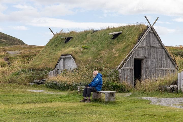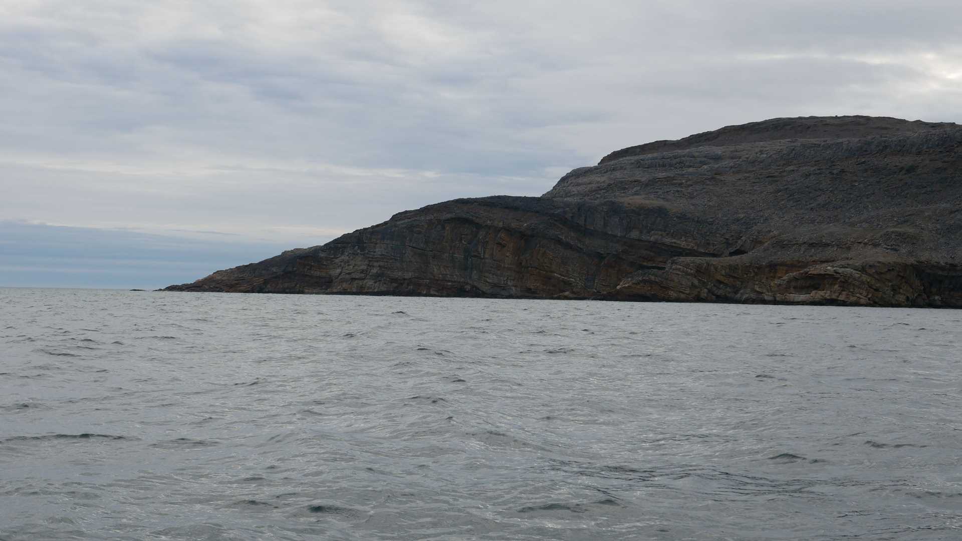
Morning found National Geographic Explorer arriving at Resolution Island, a large and largely barren mass of metamorphic rock southeast of the mouth of Frobisher Bay on Baffin Island. Resolution is the site of a now-decommissioned Distant Early Warning (DEW) Line station; its Cold War era radar dome looms over the island.
The geology of the island is dramatic with layers of once-sedimentary rock that warped and metamorphosed into multicolored layers before they were carved and exposed by glacial action.
We left the ship early, intent on scouting a good landing and a place to hike. Shortly after finding the perfect spot, we learned that a young healthy male bear had also decided that it was a good place for hiking and a picnic. He was a little dirty, suggesting he had been on the land since the ice went out several weeks earlier. He made do, eating crowberries while he waits for better times. He seemed unbothered by our presence, and we were able to spend an hour just watching him from the Zodiacs. After viewing the bear, we made a leisurely trip back to the ship, stopping to circle a grounded iceberg.
On the way back to the ship for lunch, we passed by the nest of a peregrine falcon. The juvenile was still hopping about on the ledge by the nest while one parent alternated between sitting and flying. Flying falcons are difficult to photograph in choppy seas, so readers of the Daily Expedition Report will have to use their imaginations.
During lunch, we repositioned the ship in hopes of finding an afternoon hike, but the weather deteriorated as the winds picked up, making boating and landing a nonstarter. Discretion being the better part of valor, we opted to point National Geographic Explorer south and make our way overnight to Labrador. Crossing Hudson Strait proved smoother than we anticipated, and we were treated to the sight of hundreds of seabirds keeping pace with the ship, dipping and gliding above the waves and wheeling away with the wind.