On our expedition onboard the National Geographic Islander, we have benefited from charts first made by Captains Fitzroy and James Bartholomew Sullivan, who piloted Charles Darwin around the Galapagos onboard the Beagle in 1835. The able captains managed to capture the cartography of this central part of the Galapagos. The applied precision of their efforts was appreciated into the 1960s, when the era of tourism began and their charts were often used on these shallow seas.
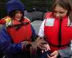
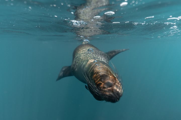
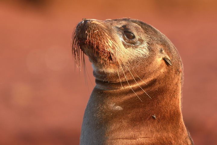
Our morning adventure began with a Zodiac ride in search of the unique Galapagos penguin. We spent almost one hour without success. As we slowly returned to the ship, they finally showed up. So we came back to snorkel in the light blue waters where we were accompanied by sea lions in a tremendous display of water ballet. Many guests saw white-tipped reef sharks resting near soft sandy lava tunnels.
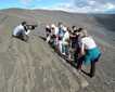
In the afternoon at Sullivan Bay, lava flows became the topic of a geology lesson. As a naturalist guide, I tried to engage everyone in an educational game. I changed the rules and decided to play hide-and-seek with our young and adult explorers. Turn back, count to 20 and try to find me! After two minutes I stretched my neck out of a lava flow collapse and explained how important it is not to explore recent geological formations on your own. Most areas may not collapse but you do not want to risk falling into such a dark place.
I managed to convince our guests how simple objects like rocks and ash take millions of years to achieve their actual shapes, colors and densities over different situations. We had a great time sharing knowledge through play.