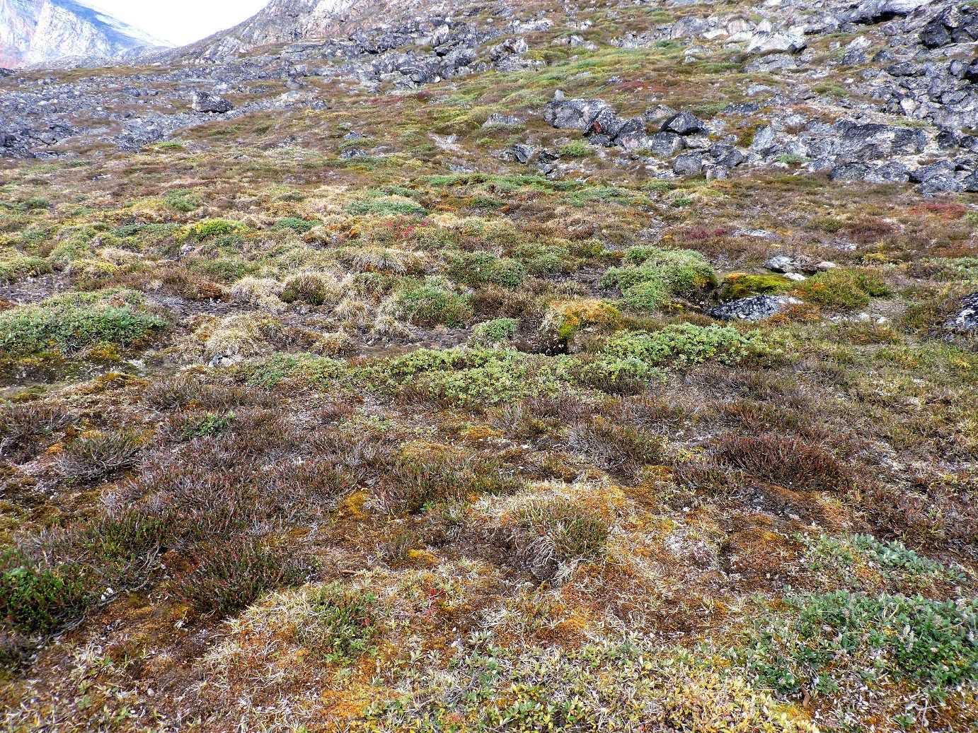
The Greenlandic name for this scenic bay is Qimusseriarsuaq, meaning “the great dog sledding place”. We maneuvered through ice all the way into one arm of the bay in order to spend the morning on Holm Island. Once ashore, everyone was immediately struck by the lush vegetation surrounding the landing site. The rock rubble is nearly completely covered in some places by dense growths of mosses and flowering plants
One can only speculate how many decades, or even centuries, it would take to accomplish this, once the glacial ice had been removed (but, how long ago was that?). Likewise, the exposed bits of boulders are pretty much blanketed with lichens. The slopes, however, are covered with loose skree made up of broken down rocks eroded out of the mountain sides, which made walking a little more challenging. A fairly short distance behind the landing, behind a low saddle, was a large lake that we supposed have Arctic char and other fishes in it. Those who were on the long hike enjoyed a very energetic hike that eventually finished back down at the water’s edge at a different place than where they started. The fine weather, calm water, and beautiful icebergs made this an ideal place for kayaking and we couldn’t pass up that opportunity.
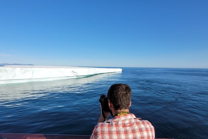
The West Greenland Current (WGC) runs northward along the coast of West Greenland and brings in relatively warm, moderating water. It results from the movement of water around the southernmost point of Greenland, which swings around from the southward flow of the East Greenland Current (EGC). The WGC is broadly associated with the North Atlantic climate resulting from the combined influences of Atlantic water from the Irminger Current and polar water from the EGC. The western coast of Greenland drains much of the Greenland Ice Sheet through the outflow of numerous major glaciers, and the resulting icebergs tend to flow northward in the WGC, which we have witnessed firsthand the last couple days.
During lunch, our intrepid expedition leader Russ went scouting deeper into the fjord that makes up Melville Bay and found a landing at the head of the waterway that gave us relatively easy access to a bit of the Greenland Ice Sheet! Well, access involved climbing up through mud and over rocks, and along a rope we anchored partway up the ice slope. Once we got all the trekkers up onto good, stable ice, we could enjoy incredible views of the inland ice sheet, as well as the face of a glacier far below. This was certainly one of the highlights of the voyage so far. It was obvious and interesting that this region must have only recently been cleared of ice (geologically speaking), because there was virtually no plant life in the vicinity, and there wasn’t nearly the collection of rocks that have eroded out of the surrounding mountains since the ice retreated here.